Chocolate Hills in 3D: Why Bohol Has a Thousand Identical Hills
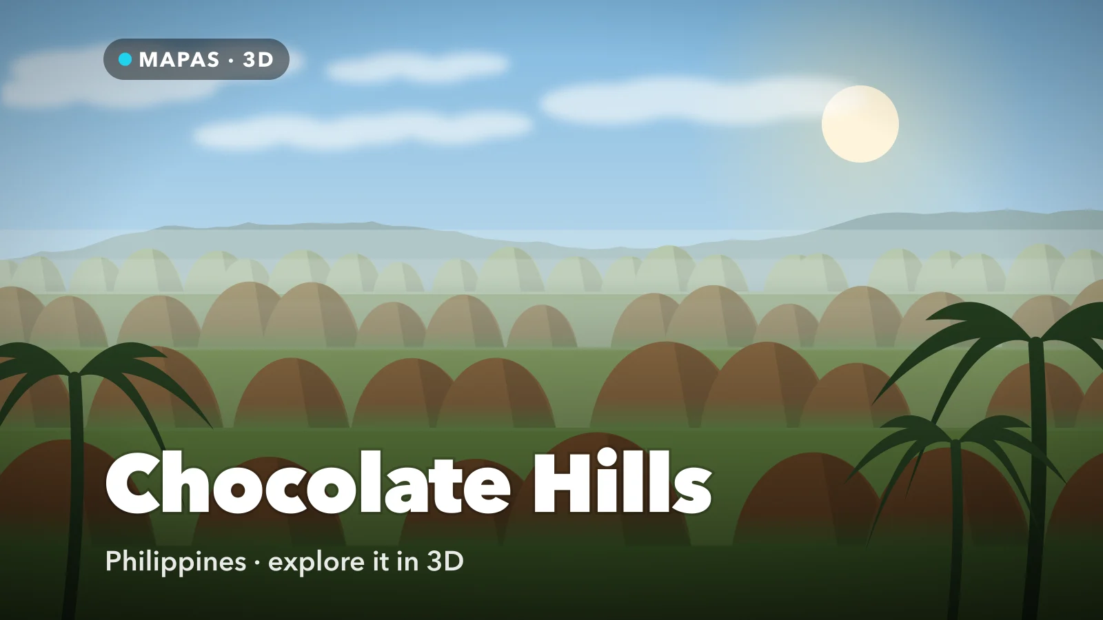
Across the middle of Bohol island in the Philippines stand more than a thousand grass-covered cones, so consistent in shape and size that they look planted rather than eroded. Here is how to explore the Chocolate Hills in 3D from your iPhone.
The Chocolate Hills cover a large part of central Bohol, in the Philippines: more than a thousand conical hills, most of them between about thirty and a hundred and twenty metres high, spread across roughly fifty square kilometres of otherwise ordinary countryside.
What makes them strange is not any single hill. It is the repetition. They are so alike in shape, so similar in height, and so evenly spaced that the first reaction of nearly everyone who sees them is that they must be artificial.
The name comes from the dry season, when the grass covering them browns off and the whole field turns from green to a dull chocolate. For the rest of the year they are green, which surprises visitors who booked around the photograph. You can explore the Chocolate Hills today, in full 3D, right from your phone.
What makes the Chocolate Hills special
They are karst, but not the tower karst of Guilin or Ha Long Bay. This is cone karst, sometimes called cockpit karst, and the difference comes down to how uniform the rock is.
Bohol’s hills are made of marine limestone — coral and shell debris that accumulated on a shallow seabed and was later uplifted. That limestone is unusually even in thickness and composition, and it sits on an impermeable layer beneath. Rainwater, mildly acidic, dissolves the limestone from the surface downward, concentrating along joints and working its way into hollows.
The hollows between the hills, not the hills themselves, are the active part. Water collects in depressions, dissolves the floor faster than the surrounding rock, and deepens them into basins — the “cockpits”. What is left standing between adjacent basins is a cone. Because the limestone is so consistent and the rainfall so evenly distributed, the basins grow at similar rates and the cones between them come out similar sizes.
Nobody built them, and no volcano produced them. They are the leftovers of a very patient subtraction.
How to explore the Chocolate Hills in 3D
This is where MAPAS comes in. From the ground you see perhaps a few dozen hills at once. From above you see the pattern, which is the actual phenomenon.
For a first run, try this order:
- Search for Chocolate Hills, Bohol and switch to 3D so the cones lift out of the plain.
- Go straight to a high overhead view first and just look at the distribution — the spacing is the thing worth noticing.
- Drop to low altitude and fly between the cones to get their real height against the trees and houses.
- Find the Carmen viewpoint complex, the main visitor site, with its stairway to a hill top in the middle of the field.
- Move northwest to Sagbayan Peak, the second viewpoint, for a different angle across the spread.
- Pull back to see how far the field extends across the island — considerably further than the tourist area suggests.
Follow along in MAPAS
Free on the App Store for iPhone and iPad.
Beyond the Carmen viewpoint
- Sagbayan Peak — a quieter viewpoint to the northwest, with a wide outlook over a different part of the field.
- The Loboc River — a broad green river south of the hills, usually visited on the same day trip.
- The Tarsier sanctuary — where Bohol’s tiny primates are protected in a section of forest near Corella.
- Bilar man-made forest — a dense mahogany plantation along the road, planted in the mid-twentieth century.
- Anda and the east coast — beaches and limestone coastline a couple of hours from the hills.
The hills are only brown for part of the year
The chocolate colour arrives in the dry season, roughly the early months of the year, when the grass dries off. Visit outside that window and the hills are green — still remarkable, but not the postcard. If the colour is the reason you are going, check the season rather than the calendar of your trip.
Why the repetition is the real story
Seen flat on a map, the Chocolate Hills are stippling. Seen in 3D, the pattern becomes the point.
If these hills were volcanic cones, they would cluster along fissures and vary widely in size and age. If they were built, they would be arranged. Instead they are distributed almost uniformly across the limestone, with basins between them of comparable depth, and they thin out exactly where the limestone gives way to other rock.
That distribution is the fingerprint of a chemical process running at an even rate over a large, homogeneous surface — dissolution, not construction. Tilt the terrain and follow the edge of the field: where the hills stop, the geology changes. It is the clearest possible demonstration that the landform is made of what was *removed*, and the hills are simply the parts the water had not got to yet.
Before you go
Bohol is reached by ferry from Cebu or by flying into Panglao. The hills sit inland, an hour or so from the coastal resorts, and are almost always visited as part of a day tour that bundles the river, the tarsiers and the forest road.
The Carmen viewpoint has a stairway of a few hundred steps to a platform on one of the hills, which is short but steep and hot. Go early: both for light and because the middle of the day on an exposed hilltop in the Philippines is unpleasant. Bohol sits in the typhoon belt, and the island was badly affected by an earthquake in 2013 and a typhoon in 2021, so check current conditions for specific sites.
Planning a few of these at once? Try a 3D tour of Singapore from Marina Bay, then Kyoto in 3D and Seoul in 3D.
Common questions
How many Chocolate Hills are there?
Counts vary depending on what qualifies as a hill; the commonly cited figure is around 1,268, with higher counts reaching well over 1,700.
Are they natural?
Entirely. They are cone karst, formed by rainwater dissolving uniform marine limestone over a very long period, leaving the cones standing between the hollows it deepened.
Is MAPAS free to use?
Yes. It is free on the App Store, needs no sign-up before you start exploring, and works on iPhone and iPad.
No day tour, no three hundred steps in the midday heat, no gamble on whether the grass has turned. Just a thousand identical cones spread across an island, laid out in three dimensions where the pattern is finally visible.
Open MAPAS and fly across Bohol over the full spread of the Chocolate Hills.
Explore the Chocolate Hills in 3D
Open MAPAS on your iPhone and fly across Bohol in 3D, over the full spread of the Chocolate Hills.
Download on theApp Store