Kelimutu in 3D: The Tri-Coloured Lakes That Keep Changing
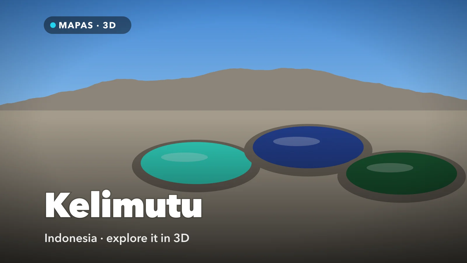
Three crater lakes along the summit of a volcano in central Flores, each a different colour and none of them fixed. Here is how to explore Kelimutu in 3D from your iPhone, and why the colours shift the way they do.
Kelimutu is a volcano in central Flores, in Indonesia’s East Nusa Tenggara province, and its summit holds something almost no other mountain manages: three crater lakes close together along its crest, each a different colour, none of them guaranteed to stay that way. A lake that is turquoise one season can be dark green or nearly black a few months later, while its neighbour across a thin rock wall does something else.
The Lio people who farm the slopes below say the lakes are where souls go after death, and families still bring offerings to the ancestors there. Geochemists talk instead about volcanic gas, iron and oxygen.
You can study the whole summit in 3D from your iPhone and see how such different colours sit so close without mixing.
What makes Kelimutu special
The summit rises to about 1,640 metres, with the three lakes in separate craters along its crest. The westernmost, Tiwu Ata Mbupu, the Lake of Old People, lies on its own. The other two, Tiwu Ko’o Fai Nuwa Muri, the Lake of Young Men and Maidens, and Tiwu Ata Polo, the Bewitched Lake, are twins divided by a single shared crater wall.
In Lio belief, the souls of the young go to Tiwu Ko’o Fai Nuwa Muri, the old to Tiwu Ata Mbupu, and those who did wrong to Tiwu Ata Polo. The mountain is still sacred ground.
The textbook arrangement is blue in the west, green and red in the east, but the lakes rarely follow it. Kelimutu is famous enough in Indonesia to have appeared on the 5,000 rupiah note issued in 1992.
How to explore Kelimutu in 3D
MAPAS builds its 3D views from Apple’s map imagery, and its Street View panoramas are Google’s. Street View on Flores is patchy, so the 3D view does most of the work here.
For a first run, try this order:
- Search for Kelimutu, Flores and switch to 3D so the summit lifts clear of the forested slopes and the craters show as hollows along the crest.
- Tilt low from the south to line up the tri-coloured lakes in one frame: Tiwu Ata Mbupu alone to the west, the twin craters to the east.
- Orbit to the eastern pair and lower the camera over their shared wall, to see how narrow a strip of rock keeps two colours of water apart.
- Find the turquoise crater, whichever lake reads pale and milky in your imagery (in recent years most often one of the eastern twins), and zoom until it fills the screen beside the darker water next door.
- Swing west to Tiwu Ata Mbupu and orbit its rim to see how far below the edge its water sits.
- Finish at Inspiration Point, the fenced high point where you can see all three lakes by turning between the twins and Tiwu Ata Mbupu, then follow the road down towards Moni and drop into Street View wherever a panorama appears.
Follow along in MAPAS
Free on the App Store for iPhone and iPad.
Beyond the crater rim
- Inspiration Point — the railed viewpoint at the top of the stairs, where most visitors wait for sunrise.
- Moni — the village below the volcano, set among rice fields, and the usual overnight base.
- Wologai — a traditional Lio village between Ende and Moni, its high-roofed houses set around a ceremonial ground.
- Ende — the south-coast town where the Dutch exiled Sukarno in the 1930s; his house there is kept as a museum.
- Penggajawa — a beach west of Ende known for its smooth blue-green stones.
Stay behind the railings at the rim
The crater walls drop steeply to the water, the ground at the edge is loose volcanic soil, and the lakes are acidic. Mist can roll across the summit in minutes and hide the edge, so stay on the paved paths. The fenced viewpoints show everything worth seeing.
Why the lakes keep changing colour
Kelimutu sits on Indonesia’s volcanic arc, where one tectonic plate sinks beneath another and feeds magma up through a line of islands. Vents beneath the two eastern lakes, called fumaroles, release steam and gases such as sulphur dioxide and hydrogen sulphide, which stir the water and bring up dissolved minerals such as iron; the western lake now receives far less gas.
The colour depends on the chemical state of those minerals. The usual explanation comes down to how much oxygen the water holds: oxygen-poor water tends to look green, and oxygen-rich water deep red to almost black. The balance shifts with how much gas comes in and how much rain dilutes it.
That is why the twins can differ so sharply. They share a wall and probably a deep gas source, but each has its own vents underwater, delivering gas at its own rate, so each lake’s chemistry drifts on its own. It is a different mechanism from the microbial rings of Grand Prismatic, and closer to the acid crater lake at Kawah Ijen on Java.
It matters in 3D, too. Satellite imagery is captured on a particular day, so the colours in MAPAS are that day’s, not necessarily today’s. Read the shapes as permanent and the colours as a snapshot, because map imagery is usually older than it looks.
Before you go
Kelimutu lies inside Kelimutu National Park, in Ende Regency. Most travellers fly into Ende or Maumere, or come along the Trans-Flores road, and stay in Moni, about half an hour’s drive below the car park. The winding road from Ende takes a couple of hours, and conditions on it change, so check with your host first.
Entry is by ticket at the park gate. From the car park, a paved path and stairs reach the viewpoints in 20 to 30 minutes. Most people leave Moni before dawn to reach Inspiration Point for sunrise, and it is cold up there.
The dry season, roughly May to October, gives the best chance of a clear summit. In the wet months cloud often settles on the rim, and some days it never lifts.
Common questions
Where exactly is Kelimutu?
In central Flores, Indonesia, inland from the south-coast town of Ende. The village of Moni sits below the summit and is the usual base.
Do the lakes really change colour?
Yes, and not on a schedule. Each lake shifts on its own, sometimes several times a year, so what you see may match no photograph you have seen.
Is MAPAS free to use?
Yes. It is free on the App Store, with limits on the free version; Premium removes ads and unlocks unlimited Street View, full 3D and satellite access, and unlimited live cameras.
No pre-dawn drive, no gamble on the cloud. Just three craters on a volcano’s crest, laid out in three dimensions where you can see how close together they sit.
Open MAPAS and line up the tri-coloured lakes of Kelimutu, from Tiwu Ata Mbupu in the west to the twin craters in the east.
Explore Kelimutu in 3D
Open MAPAS on your iPhone and line up Kelimutu’s three crater lakes in 3D, from Tiwu Ata Mbupu to the twin craters in the east.
Download on theApp Store