The Nile Delta in 3D: The Green Fan Seen From Above
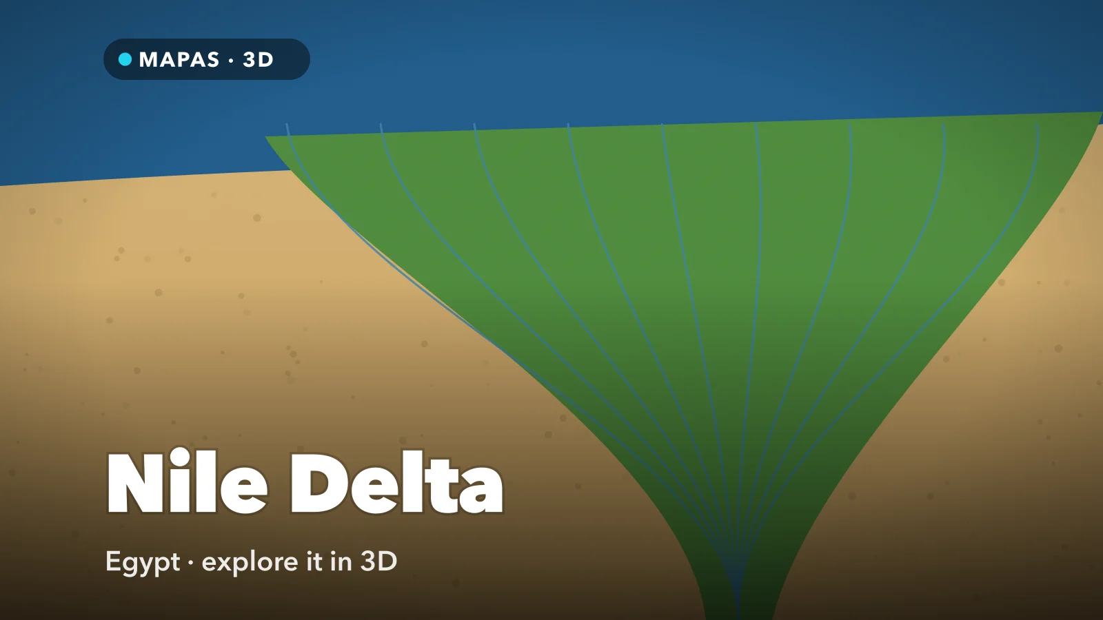
A fan of green fields spreading from Cairo to the Mediterranean, split by two branches of the river and edged by desert on both sides. Here is how to explore the Nile Delta in 3D from your iPhone, and why its shape only makes sense from above.
Seen in 3D, the Nile Delta begins as a point a short way north of Cairo, where the river stops being a single green ribbon through the desert and splits in two. The Rosetta branch runs northwest, the Damietta branch northeast, and around them the land spreads into a fan of fields, canals and towns that meets the Mediterranean along some 240 kilometres of coast, from Alexandria to Port Said.
On the ground it does not look like a shape at all. It is flat, intensely farmed and crowded, and from a train window it is field after field, canal after canal. The geometry only appears from altitude: photographed from the International Space Station at night, its lit towns trace a flower on a long stem, with Cairo where the stem meets the flower.
That is the case for seeing the Nile Delta from above first. In 3D you can hold the whole fan in one frame, follow both branches to the coast, and see where the green stops and the desert begins.
What makes the Nile Delta special
The outline gave it its name. Greek writers called it the Delta because it resembled their letter Δ, point upstream and base along the shore. The Nile's is the textbook arcuate delta, its coast bowed outward in a smooth arc rather than splayed into fingers.
It has not always had two branches. Classical writers listed seven mouths, among them the Canopic and the Pelusiac. Over the centuries most silted up, wandered or were absorbed into irrigation canals, until only the Rosetta and the Damietta were left carrying the river.
Along the shore lie shallow coastal lakes: Manzala near Port Said, Burullus between the two branches, and Idku and Mariout toward Alexandria.
How to explore the Nile Delta in 3D
This is where MAPAS comes in. Street View coverage in Egypt is thin and mostly limited to landmark collections, so the delta is explored from above, which at this scale is the right way round. If you have already seen Cairo in 3D, start there and fly north.
- Search for the Nile Delta, Egypt, switch to 3D and pull back until the whole fan fits the screen.
- Look straight down over the delta and follow its edges east and west. The line where green fields meet tan desert is sharp enough to trace with a finger.
- Fly to the apex at El Qanater El Khayreya and tilt low over the barrages where the river divides into the Rosetta and Damietta branches.
- Follow the Rosetta branch northwest and orbit the promontory at its mouth, where the coast bulges around the river.
- Trace the Damietta branch northeast to Ras El Bar, then rotate along the shore to see Lake Burullus and Lake Manzala behind their sand bars.
- Fly west to Alexandria, tilt low over the Citadel of Qaitbay on its point at the harbour mouth, and drop to street level if Street View panoramas are available there.
Follow along in MAPAS
Free on the App Store for iPhone and iPad.
Beyond the two branches
- Rashid (Rosetta) — the town of Ottoman-era houses near the western mouth, and the fort where French soldiers uncovered the Rosetta Stone in 1799.
- Ras El Bar — the resort on the point of land where the Damietta branch meets the sea, busiest in the summer holidays.
- Tanta — the delta's central city, home to the Mosque of Sayyid al-Badawi and its yearly festival.
- Tanis (San el-Hagar) — the ruins of a pharaonic capital in the north-eastern delta, scattered with fallen granite blocks.
- Tell Basta — the remains of ancient Bubastis beside Zagazig, the cult centre of the cat goddess Bastet.
The satellite view is a mosaic, not a feed
The imagery in MAPAS is recorded, stitched together from pictures taken on different dates, so it is not a live view of the delta. Fields that look green in one area may be bare in the next. Use it to learn the shape of the land, and expect the crops to look different when you arrive.
Why the delta is shaped like a fan
For most of its history the Nile flooded every late summer, carrying silt down from the Ethiopian highlands. Where the river met the sea it slowed and dropped that load, and once sea level stopped rising quickly after the last ice age, roughly seven to eight thousand years ago, the deposits began to build outward.
The Mediterranean then reshaped what the river built. Waves and currents spread sediment sideways from the mouths, smoothing the shore into an arc and building the sand bars that closed off the lagoons. That is why the coast curves, with gentle bulges at Rosetta and Damietta, instead of branching like the Mississippi's. The Okavango Delta fans out too, but never reaches the sea.
The sharp inland edge is human as much as geological: the fields stop where the irrigation water stops. Ancient Egyptians called their country Kemet, the black land, after the silt, and the desert Deshret, the red land.
The Aswan High Dam, built in the 1960s, ended the flood and trapped the silt far upstream. Without fresh sediment the sea began taking the coast back, and the Rosetta promontory retreated so fast that sea walls were built around 1990 to hold it.
Before you go
The comfortable season runs roughly from October to April. Summer is hot and humid; winter brings occasional storms to the Alexandria coast, and the waterbirds to Lake Burullus.
The delta is not a park with an entrance but farmland and towns where millions of people live. The Cairo to Alexandria railway crosses the middle of it, Rashid is an easy day trip from Alexandria, and El Qanater El Khayreya from Cairo. Carry your passport between towns, check museum hours close to your trip, and treat fields and canal paths as private land.
Common questions
Where does the Nile Delta begin and end?
It begins just north of Cairo, where the river divides at El Qanater El Khayreya, and ends on the Mediterranean between Alexandria and Port Said.
Can you see the Nile Delta from space?
Yes. In any Nile Delta satellite view the green fan stands out sharply against the desert on both sides. The imagery in an app is recorded, and often older than you might expect.
Is MAPAS free to use?
Yes, to download and start exploring. It is free on the App Store, and 3D maps and Street View work without paying, within limits. Premium lifts those limits, adds unlimited live cameras and removes ads.
No flight to Cairo, no guessing where one branch ends and the lagoons begin. Just the whole delta at once, the way it only makes sense from above.
Open MAPAS, find the point of the fan north of Cairo, and follow the river to the sea.
Explore the Nile Delta in 3D
Open MAPAS on your iPhone and look down on the Nile Delta in 3D, from the point of the fan north of Cairo to both branches at the sea.
Download on theApp Store