Perito Moreno in 3D: The Glacier That Keeps Breaking Its Own Bridge
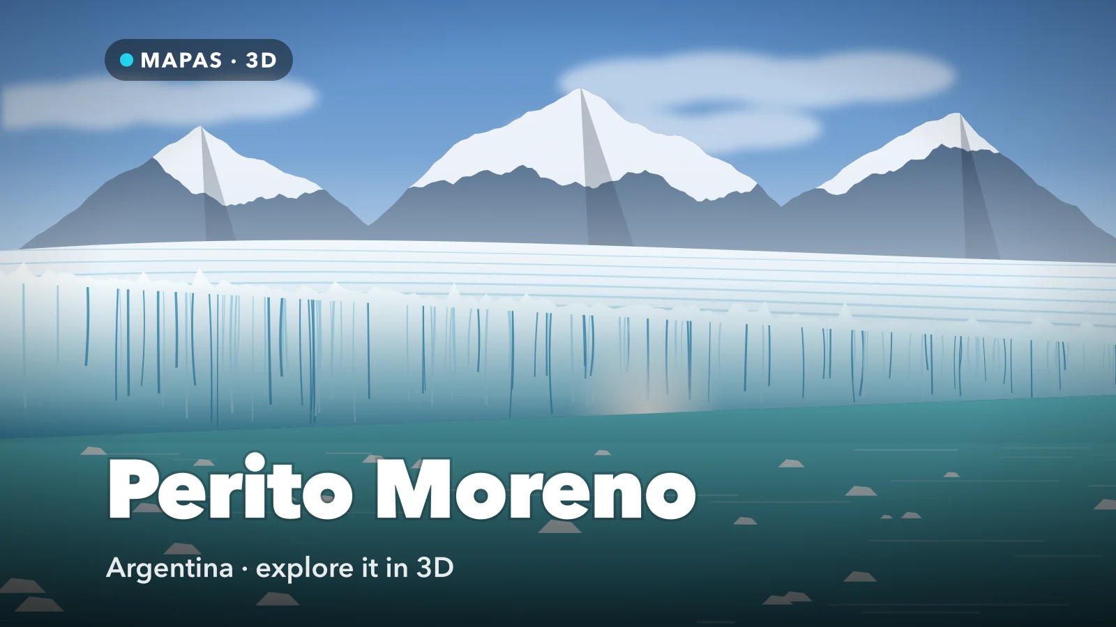
A glacier in Argentine Patagonia that ends in a wall of ice standing some seventy metres above a lake, and that periodically advances far enough to dam an arm of that lake until the water breaks through. Here is how to explore Perito Moreno in 3D from your iPhone.
Perito Moreno sits in Los Glaciares National Park in Argentine Patagonia, about eighty kilometres from the town of El Calafate. It flows east off the Southern Patagonian Ice Field and ends in Lago Argentino as a front roughly five kilometres wide, with an ice wall standing somewhere around sixty to seventy metres above the water and a great deal more below it.
It is one of the most accessible large glaciers anywhere. A road runs to a peninsula directly opposite the front, and a network of steel boardwalks lets you stand a few hundred metres from the ice at several heights. You do not need a boat, a guide or a hike to see it, which is unusual.
You can explore Perito Moreno today, in full 3D with Street View, right from your phone.
What makes Perito Moreno special
Two things, and the second one is the reason it is famous.
The first is that it is not obviously shrinking. Most glaciers worldwide are in clear retreat; Perito Moreno has held roughly its position for decades, advancing and calving at rates that broadly cancel out. The reasons are local — how much snow falls on its catchment, how steeply it descends, how deep the water is at its front — and it is not evidence that glaciers in general are fine. But it does mean the view has stayed comparable for a long time.
The second is the rupture cycle. The glacier front advances against the Magallanes peninsula opposite. When it makes contact, it cuts Lago Argentino in two, sealing off the southern arm — the Brazo Rico — from the main body of the lake.
With its outflow blocked, the water in the dammed arm rises, sometimes by tens of metres. Eventually the pressure finds a way through the ice at the contact point, water begins tunnelling, and the tunnel widens into an arch. The arch grows until it can no longer hold its own weight, and collapses. It is one of the few genuinely predictable large-scale spectacles in nature, except that the timing is not predictable at all — the interval between ruptures has varied from a couple of years to more than a decade.
How to explore Perito Moreno in 3D
This is where MAPAS comes in. From the boardwalks you see the front. From above you see why the front behaves the way it does.
For a first run, try this order:
- Search for Perito Moreno Glacier and switch to 3D so the ice tongue and the lake arms separate.
- Look down on the front from directly above and note how close the ice comes to the Magallanes peninsula opposite — that gap is where the dam forms.
- Drop to lake level in front of the wall to get the height of the face against the water.
- Follow the glacier back west, up its length, to where it comes off the Southern Patagonian Ice Field.
- Trace the Brazo Rico, the southern arm, and see how it would be cut off if the ice touched the far shore.
- Drop into Street View on the boardwalks of the peninsula for the standard visitor viewpoint.
Follow along in MAPAS
Free on the App Store for iPhone and iPad.
Beyond the ice wall
- The Magallanes peninsula boardwalks — several kilometres of steel walkway at different heights facing the front.
- Brazo Rico — the southern arm of Lago Argentino, the one the glacier periodically dams.
- The Southern Patagonian Ice Field — the vast icefield behind, one of the largest outside the polar regions.
- Upsala and Spegazzini glaciers — reached by boat from Puerto Bandera, larger and much less visited.
- El Calafate — the lakeside town that serves as the base for all of it.
Never approach the ice front from the shore
Calving is unpredictable and violent: blocks the size of buildings drop into the lake without warning and generate waves capable of reaching well up the bank. People have been killed here doing exactly this. Stay on the boardwalks, which are positioned and railed for the purpose, and treat the barriers as the minimum safe distance rather than a suggestion.
Why the glacier calves the way it does
Standing at the boardwalk, calving looks random: a crack, a pause, then a tower of ice peeling off into the water. In 3D the pattern behind it is easier to see.
A glacier is not a static block; it flows, slowly, under its own weight. Perito Moreno moves forward at something like a metre or two a day at its centre, faster in the middle than at the edges where friction against the valley walls drags it back. That differential is what fractures the surface into the field of crevasses and pinnacles you see from above.
At the front, the ice is being pushed forward into deep water. Buoyancy works on the submerged part, the wall is undercut, and eventually a section loses support and fails — usually along a crevasse that was formed kilometres upstream. So the collapse you watch is the last moment of a fracture that began a long way back and has been travelling downstream ever since. Seeing the crevasse field from above, and the direction it runs, makes the front stop looking arbitrary.
Before you go
El Calafate has an airport with connections from Buenos Aires, and the glacier is an easy day trip from town by bus, tour or hire car. The park charges an entry fee. The boardwalks are extensive, well maintained and largely accessible, and you can happily spend several hours moving between levels.
Boat trips run close to the northern face, and mini-trekking excursions put you on the ice itself with crampons and a guide — book those ahead in the summer season. Patagonian weather changes constantly and the wind is serious; bring layers and a windproof shell whatever the forecast says. Summer here runs December to February, and shoulder months are quieter with much of the same view.
If this one caught your eye, Spotted Lake, seen the way tours see it from Highway 3, Moraine Lake in 3D and Bryce Canyon in 3D reward the same slow tilt.
Common questions
When does the ice bridge rupture happen?
There is no schedule. The interval has ranged from a couple of years to more than a decade, and the collapse itself takes hours to days once the arch forms. Nobody sells tickets to it, because nobody can promise it.
Is Perito Moreno really not retreating?
Its front has stayed broadly stable for decades, unlike most glaciers, because of specific local conditions in its catchment and at its terminus. That is a local phenomenon, not a global one.
Is MAPAS free to use?
Yes. It is free on the App Store, needs no sign-up before you start exploring, and works on iPhone and iPad.
No flight to El Calafate, no wind, no waiting years for an ice bridge to fall. Just a five-kilometre wall of ice pushing into a lake, laid out in three dimensions with the icefield behind it.
Open MAPAS and fly Perito Moreno from the boardwalks back to the ice field.
Explore Perito Moreno in 3D
Open MAPAS on your iPhone and fly the Perito Moreno glacier in 3D, from the boardwalks to the icefield behind it.
Download on theApp Store