Trolltunga in 3D: The Slab 700 Metres Above the Fjord
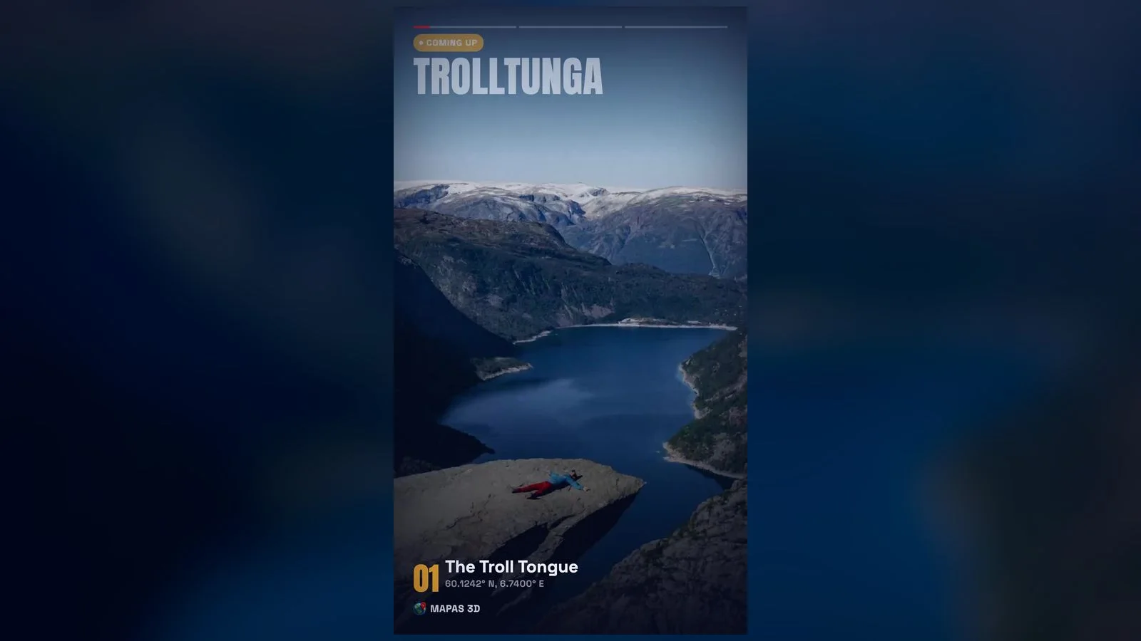
High above a Norwegian fjord lake, a slab of rock juts horizontally into empty air — Trolltunga, the 'Troll's Tongue', 700 metres above the water. Here's how to explore every corner of Trolltunga in 3D with live Street View — right from your iPhone.
High above a Norwegian fjord lake, a slab of rock juts horizontally into empty air — Trolltunga, the 'Troll's Tongue', 700 metres above the water.
But here's the catch: most people will never stand here in person. The flights, the crowds, the sheer distance — Trolltunga stays firmly on the someday list. The good news is that you no longer have to wait for someday. You can explore Trolltunga today, in full 3D with live Street View, right from your phone.
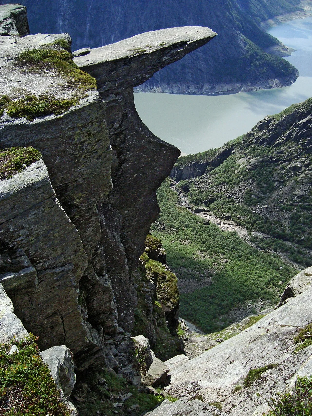
The ledge was split from the cliff by ice during the last ice age, some 10,000 years ago. That history is exactly what makes it worth seeing up close — and worth scouting properly before you go.
What makes Trolltunga special
A few sights define Trolltunga, and you'll want to find each of them when you explore in 3D:
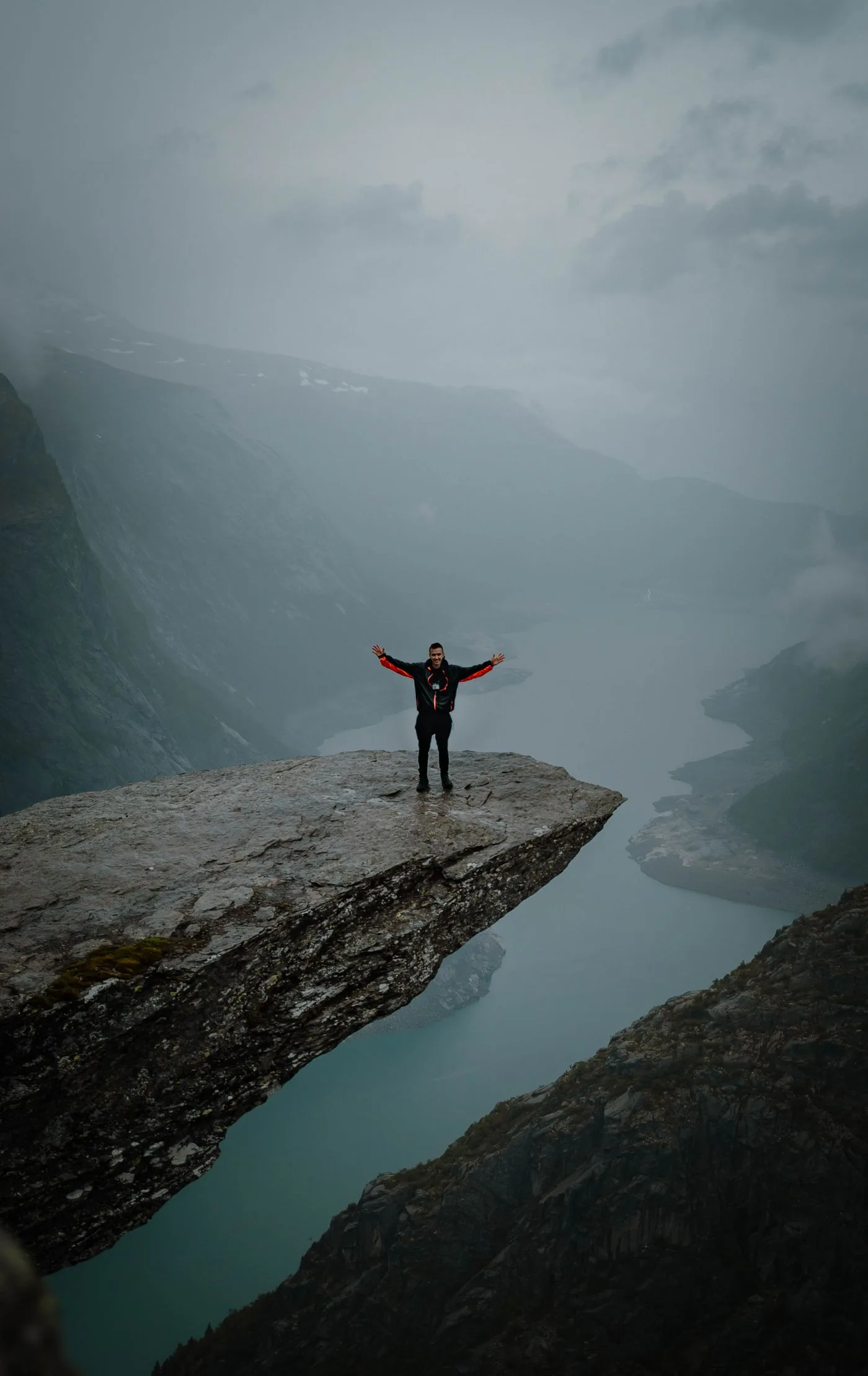
- The Troll Tongue — The famous rock ledge cantilevered over the void, with nothing below but the lake.
- Ringedalsvatnet — The long glacial lake far beneath the cliff, a shimmering ribbon between the mountains.
- Trolltunga Cliff — The clifftop plateau reached after a demanding all-day hike from Skjeggedal.
- The wider setting — half the magic of Trolltunga is the landscape around it, which reads best from above in a 3D view.
Together, these sights give Trolltunga its unmistakable character. Exploring in 3D lets you move between all of them in seconds — comparing the angles, judging the distances, and deciding which ones deserve the most of your time when you finally visit in person.
How to explore Trolltunga in 3D with MAPAS
You don't need a plane ticket to walk these streets. Here's the fastest way to experience Trolltunga from your sofa:
- Open MAPAS and search for Trolltunga, Norway — the map drops you straight into the region.
- Switch to 3D view and tilt the map so the terrain, buildings and landscape rise into relief around you.
- Drop into Live Street View near The Troll Tongue, the view most visitors travel here for, and look around in every direction.
- Fly across to Trolltunga Cliff to see it from an angle few travellers ever reach on foot.
- Turn on GPS navigation to trace the real walking route between the sights — so the day you arrive, you already know it by heart.
Watch it in motion
This article is part of our "Hidden Places You Must See" series — a cinematic 3D flyover of Trolltunga, from The Troll Tongue to Trolltunga Cliff, in under 30 seconds.
The best viewpoints to look for
When you're exploring in 3D, aim for these spots — they're the exact angles photographers wait all morning for:
- The Troll Tongue — 60.1242° N, 6.7400° E
- Ringedalsvatnet — 60.1200° N, 6.7500° E
- Trolltunga Cliff — 60.1242° N, 6.7400° E
Line any of them up in 3D first, and you'll know precisely where to stand — and which hour of the day gives you the light — long before you travel.
Why see it in 3D before you go
Scouting a destination virtually isn't just fun — it saves real time and money. You'll spot which viewpoints are worth the climb, how the sights connect, and where the crowds gather, so your actual visit is spent seeing rather than searching. You arrive already oriented, instead of burning your first morning getting lost.
And if a trip to Trolltunga isn't on the calendar yet, the 3D tour stands on its own — a genuine way to experience one of the world's most remarkable places from wherever you are.
Good to know
A few essentials before you dive in:
- Cost — MAPAS is free to download on the App Store, with no sign-up required to start exploring.
- Best for — trip planning, virtual travel, and scouting photo spots like The Troll Tongue before you commit to a route.
- Works on — iPhone and iPad, so you can plan on the couch and navigate on the road.
- Part of — our "Hidden Places You Must See" series, a growing collection of the world's most surreal destinations in 3D.
Plan the real trip (when you're ready)
The trailhead is near Odda. The hike is a serious 10–12 hour round trip — go in summer, start early, and carry layers. The 3D flyover skips the blisters.
Whenever you do go, a little virtual scouting means you'll spend your time on the ground soaking it in rather than working out where to point the camera. Until then, the 3D version is open 24/7 — no crowds, no flights, no queue for the viewpoint.
Ready to explore Trolltunga?
Download MAPAS and walk through Trolltunga — and hundreds of hidden places — in 3D with live Street View and GPS.
Download on theApp Store