Wave Rock in 3D: A Granite Wave in the Australian Wheatbelt
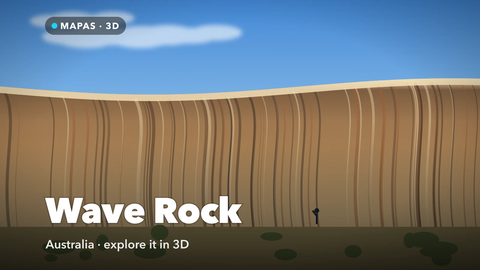
A wall of granite in Western Australia’s wheatbelt, curved and streaked so it reads exactly like a breaking wave frozen at its steepest point. Here is how to explore Wave Rock in 3D from your iPhone, and why the rock it belongs to is bigger than the photograph suggests.
Wave Rock stands about 340 kilometres east of Perth, just outside the small wheatbelt town of Hyden. It is roughly fifteen metres high and a hundred metres long, a concave granite face that curls outward at the top and is streaked vertically in grey, ochre and rust. The resemblance to a wave about to break is close enough that no one has ever needed to explain the name.
The part most photographs leave out is that Wave Rock is not a standalone formation. It is one flank of Hyden Rock, a large granite dome sitting in otherwise flat farmland. Walk up on top and you find a broad expanse of bare rock with a low stone wall running across it, built to channel rainwater into a dam.
You can explore Wave Rock and the dome it belongs to today, in full 3D with Street View, right from your phone.
What makes Wave Rock special
The shape is a flared slope, and it did not form in the open air.
The granite here crystallised deep underground. Over an enormous span of time the material above it was stripped away and the dome was gradually exposed. But the base of a rock outcrop stays wetter than its exposed upper surface, because water collects in the soil banked against it. That damp zone weathers the granite chemically, eating into the rock below ground level while the top stays hard.
Later erosion removes the soil and reveals what was happening underneath: an undercut, concave face with an overhang at the top. The wave was carved while it was buried, and then uncovered.
The streaks are more recent and still active. Rainwater runs down the face carrying dissolved minerals, algae and lichen, and each vertical band records a preferred drainage line. They shift over decades, which is why the colours in old photographs do not quite match what you see now.
How to explore Wave Rock in 3D
This is where MAPAS comes in. The wave face is a ground-level experience, but the dome is only legible from above.
For a first run, try this order:
- Search for Wave Rock, Hyden and switch to 3D so the granite dome lifts out of the surrounding farmland.
- Orbit the whole of Hyden Rock first, so you can see that the wave is one edge of a much bigger mass.
- Come in low along the northern face to see the curl and the overhang in profile.
- Rise onto the top of the dome and find the low water-diversion wall snaking across the bare rock.
- Follow the wall to the dam it feeds, on the far side of the outcrop.
- Pull back and look at the wheatbelt around it — dead flat, cleared, and cropped right up to the reserve boundary.
Follow along in MAPAS
Free on the App Store for iPhone and iPad.
Beyond the wave
- Hippo’s Yawn — a separate outcrop nearby, weathered into an opening that looks exactly like a hippo mid-yawn.
- The summit of Hyden Rock — a walk onto the dome with views over the whole wheatbelt and the diversion wall underfoot.
- Mulka’s Cave — a granite shelter a short drive north holding hundreds of Aboriginal hand stencils.
- Lake Magic — a salt lake close by that turns pink under the right conditions.
- Hyden — the town itself, small, agricultural, and the only services for a long way in any direction.
Mulka’s Cave is a cultural site, not a photo stop
The hand stencils in Mulka’s Cave are significant to the Ballardong Noongar people and are fragile. Do not touch the rock surfaces or the art, stay on the marked path, and follow the signage at the site. Skin oils and physical contact damage pigment that has survived for thousands of years.
Why there is a wall on top
The low wall running along the summit of Hyden Rock is the most quietly interesting thing there, and almost nobody looks at it.
In this part of Western Australia rainfall is low and unreliable and there is no meaningful surface river system. A large dome of bare granite, though, sheds nearly every drop that falls on it, because there is no soil to absorb anything. That makes it a very efficient natural catchment — if you can steer the runoff.
So a wall was built along the rock, contouring across it, to catch water running down the dome and direct it into a dam rather than letting it disperse around the base. It is a piece of practical rural engineering that turns a lump of granite into a water supply. Seen in 3D, with the dome’s curve visible, the line the wall takes stops looking arbitrary and starts looking like exactly what it is: a contour drawn to collect the maximum possible flow.
Before you go
Hyden is a long drive from Perth — around four hours each way — and while it can be done as a very long day trip, most people stay overnight or fold it into a wider loop through the wheatbelt. There is accommodation, fuel and a caravan park at the site and in town.
The reserve charges an entry fee per vehicle. Summer here is genuinely hot with little shade on the rock, so early morning or late afternoon is better for both comfort and light. Spring brings wildflowers across the wheatbelt, which is the busiest and arguably the best time to come.
For more places that look different from above, see the best live beach cameras, Sydney in 3D and Wanaka in 3D.
Common questions
Can you walk on Wave Rock?
Not up the face itself, which is steep and slick. There is a path around the base and a marked route onto the top of the dome from the side, which is where the summit views and the water wall are.
How big is it really?
About fifteen metres high and a hundred metres long — impressive but smaller than most photographs imply, because there is rarely anything in frame to give it scale.
Is MAPAS free to use?
Yes. It is free on the App Store, needs no sign-up before you start exploring, and works on iPhone and iPad.
No four-hour drive each way, no summer heat on bare granite. Just a granite dome in the wheatbelt with one face carved into a wave, laid out in three dimensions where you can see the whole rock rather than one edge of it.
Open MAPAS and circle Hyden Rock from the wave face to the dam.
Explore Wave Rock in 3D
Open MAPAS on your iPhone and circle Hyden Rock in 3D, from the wave face to the dome above it.
Download on theApp Store