Bora Bora in 3D: See the Lagoon Ring From Above
An extinct volcano in French Polynesia, sinking slowly inside a turquoise lagoon and a reef strung with sandy islets. Here is how to explore Bora Bora in 3D from your iPhone, and why the view from above explains the island better than any postcard.
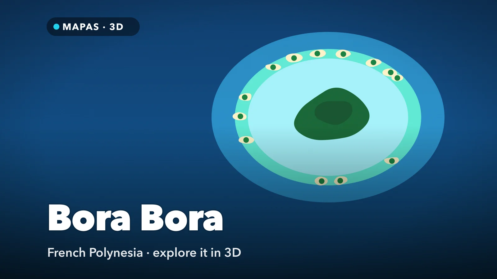
Bora Bora in 3D looks almost like a diagram. It sits in the Leeward Islands of French Polynesia, about 260 kilometres northwest of Tahiti. A dark green island rises in the middle, crowned by the basalt block of Mount Otemanu. Around it lies a lagoon in bands of turquoise and deep blue, and around that a thin ring of reef and sandy islets, the motu.
Most photographs of Bora Bora look across the water at the mountain from a bungalow deck. That postcard hides the shape that makes the place work: a sinking volcano, a reef that kept growing as the island went down, and one gap every boat must use.
That shape is easiest to read from above, which is why the Bora Bora satellite view is the best first look. You can explore Bora Bora in 3D from your iPhone and follow the whole lagoon ring before you book a single boat.
What makes Bora Bora special
The island’s two peaks, Otemanu at around 727 metres and Pahia at around 661 metres, are not volcanic cones but the eroded remnants of an extinct volcano, wearing down and sinking for millions of years. Otemanu’s upper cliffs are so sheer and crumbly that its true summit is treated as out of reach.
Then there is the lagoon, and the reef that encloses it. The reef takes the ocean swell on its outer edge, keeping the water inside calm, and it carries the motu: low strips of coral sand and palms, many now home to resorts with bungalows over the shallows. Two islets to the west, Toopua and Toopua Iti, are different: volcanic rock, surviving pieces of the old crater rim.
How to explore Bora Bora in 3D
This is where MAPAS comes in. Its 3D and satellite views show island, lagoon and reef in one frame, and where Street View coverage exists, it fills in the ground level. For a first run, try this order:
- Search for Bora Bora, switch to 3D and pull the camera up until the whole ring fits on screen.
- Orbit the ring. In places the motu form long, unbroken strips; elsewhere the reef sits just underwater and shows only as a line of surf.
- Follow the west side to the Teavanui Pass, the only navigable gap in the reef, and tilt down until the deep blue channel stands out against the turquoise.
- Fly through the pass to Vaitape, the main village, and drop to street level on the waterfront where the airport shuttle boats come in, if Street View coverage reaches it.
- Turn north to the motu islets, starting with Motu Mute and its airstrip, then work east along the reef to the rows of overwater bungalows.
- Finish at Matira Point in the south and tilt up from the beach towards Otemanu, so the old volcano rises above the lagoon and the green slopes of the main island.
Follow along in MAPAS
Free on the App Store for iPhone and iPad.
Beyond the lagoon ring
- Mount Otemanu — the sheer basalt peak at the centre, best read by orbiting it in 3D.
- Mount Pahia — Otemanu’s lower neighbour, best climbed with a local guide.
- Matira Beach — the sweep of sand around Matira Point, one of the few beaches on the island open to everyone.
- Faanui Bay — the northwest bay, with American Second World War guns still on the ridges above.
- Toopua and Toopua Iti — the volcanic islets off the west coast, the surviving western edge of the old crater rim.
Many of the motu are spoken for
Many islets on the reef are occupied by resorts or held as private land, so sand that looks empty from above is not automatically a beach you can land on. Matira is the dependable public beach. To step onto another motu, go with a lagoon tour that has permission to land.
Why Bora Bora is shaped like a ring
The Society Islands were built one after another over a hotspot beneath the Pacific plate. Each volcano grew, drifted away on the moving plate, went extinct and began to sink as the ocean floor under it cooled. Bora Bora is a few million years into that process.
While the volcano sank, the coral grew upward. A reef that began as a fringe along the shore stayed near the surface while the land inside it subsided. The widening gap became the lagoon, and storms piled coral rubble and sand onto the reef as motu. Charles Darwin described this sequence in 1842, using Bora Bora as one of his examples of a barrier reef: fringing reef, then barrier reef, then, once the peak has gone under, an atoll. Bora Bora sits in the middle stage.
The colours follow from the same story. Pale turquoise is shallow water over white coral sand; dark blue is depth, in the channels and beyond the reef. Reef passes often face old valleys on the island, where fresh water and silt running off the land are thought to have held back coral. Bora Bora from above lays all of this out at once; from a boat you see one edge.
Before you go
Most visitors arrive on a domestic flight from Papeete, under an hour, or on a cruise ship anchored in the lagoon. The airport sits on Motu Mute, on a runway first built by the United States during the Second World War.
The dry season, roughly May to October, brings less rain and lower humidity; November to April is hotter and wetter. A road of about 32 kilometres circles the main island, easy to cycle in a day.
Never stand on coral, respect the current in the pass, and hike only with a local guide, as trails are unmarked and partly private. MAPAS imagery is recorded, not real-time, so a new jetty may not show yet; why map imagery is older than you think explains the lag.
Common questions
Is Bora Bora an atoll?
Not quite. An atoll is a ring of reef with no high island left inside, like the atolls of the Maldives. Bora Bora still has its volcano, so it is a high island inside a barrier reef, sometimes called an almost-atoll.
How do you get from the airport to Vaitape?
By boat. Motu Mute has no road link to the main island, so a shuttle crosses the lagoon to Vaitape, and resorts send their own launches.
Is MAPAS free to use?
Yes. It is free on the App Store to download and use, with limits on Street View and full 3D access that MAPAS Premium removes, along with the ads.
No seaplane, no guessing which shade of blue means shallow. Just a sinking volcano and its ring of reef, laid out in three dimensions.
Open MAPAS and fly the lagoon ring of Bora Bora, from the pass at Teavanui to the motu on the far reef.
Explore Bora Bora in 3D
Open MAPAS on your iPhone and fly the lagoon ring of Bora Bora in 3D, from Vaitape and the Teavanui Pass to the motu on the far reef.
Download on theApp Store