Maldives Atolls in 3D: A Country Drawn in Rings of Coral
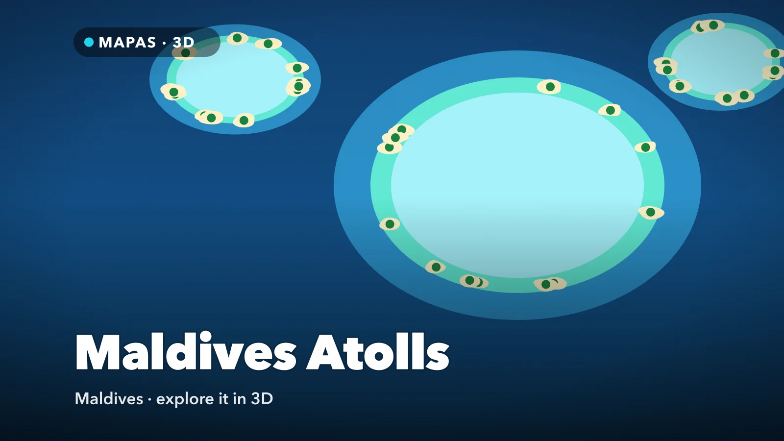
A long chain of coral rings in the Indian Ocean, holding around 1,200 low islands and a capital built out to its seawall. Here is how to explore the Maldives atolls in 3D from your iPhone, and why the view from above explains the place better than any beach photograph.
The Maldives lies in the Indian Ocean southwest of Sri Lanka, a chain of coral reefs running more than 800 kilometres north to south. From a beach it looks like any tropical island. Seen from above in 3D, the Maldives atolls finally make sense: some 26 natural atolls, most of them rings of reef around a lagoon, with the central atolls strung in a double line either side of a deep inner sea.
Around 1,200 islands sit on those reefs, most of them small, uninhabited and barely above the waterline. With nearly all its land within two metres of the sea, it is usually called the world’s lowest-lying country. Even the word atoll is borrowed from Dhivehi, the Maldivian language.
That is why the place is worth reading from above. A brochure shows you one lagoon; a satellite view shows you the whole system, right from your phone.
What makes the Maldives atolls special
Most of the atolls follow the same plan at different scales. An outer rim of reef, broken by channels the Maldivians call kandu, encloses a lagoon of sand and scattered coral. Along the rim sit faros (also a Maldivian word), small ring-shaped reefs with their own shallow lagoons, like miniature atolls inside the big one.
The colours do the explaining. Shallow water over white sand reads as turquoise, deeper lagoon floors as a middle blue, and the ocean beyond the rim drops to a blue so dark it looks like a hole in the map. Between the two lines of atolls lies the Inner Sea, several hundred metres deep.
Malé Atoll, where most visitors land, is two natural atolls, North Malé and South Malé, split by the deep Vaadhoo Kandu, with the capital filling an island at the southern tip of North Malé.
How to explore the Maldives atolls in 3D
MAPAS shows the Maldives through Apple’s satellite and 3D map imagery. There is almost no terrain to lift, so treat this as a flight: the drama is shape and colour. The imagery is stitched from captures taken on different days, so tide and clarity vary; why map imagery is older than you think explains why.
For a first run, try this order:
- Search for the Maldives and pull back until the central atolls appear as two lines of rings either side of the darker Inner Sea.
- Zoom into Malé Atoll and tilt to around 45 degrees, so North Malé and South Malé separate across the Vaadhoo Kandu.
- Drop low over Malé and orbit the island once, then follow the Sinamalé Bridge east to the runway on Hulhulé.
- Follow the causeway north to Hulhumalé, raised from a shallow lagoon since 1997, and compare its straight, engineered shoreline with the curved natural islands around it; Palm Jumeirah is another island built up from the sea.
- Pick one faro on the rim and come down until it fills the screen: the ring of reef, the pale lagoon, an island on one edge and the sudden drop to dark water.
- Check for Street View, which in MAPAS is Google’s coverage; it is patchy across the atolls, so where nothing appears, stay in satellite view and fly northwest to Baa Atoll.
Follow along in MAPAS
Free on the App Store for iPhone and iPad.
Beyond Malé
- Ari Atoll — west across the Inner Sea, known for whale sharks along its southern rim.
- Baa Atoll and Hanifaru Bay — a UNESCO Biosphere Reserve since 2011, where manta rays gather to feed.
- Huvadhu Atoll — far to the south, and one of the world’s largest atolls.
- Addu Atoll — the southernmost atoll, just below the equator, where causeways link several islands and Gan was once a British air base.
- Thilafushi — an artificial island west of Malé, raised on a lagoon to take the capital’s waste.
The channels are stronger than they look
Every kandu carries the tide in and out of its lagoon, and the current through it can outrun most swimmers. Snorkel or dive channel sites from a boat with a local guide, and if you swim from the beach, stay on the lagoon side of the reef edge.
Why the Maldives is made of rings
Darwin’s explanation for atolls, published in 1842, starts with a volcano: a reef grows around its shore, the volcano slowly sinks, and the reef keeps building upward until only a ring remains. Bora Bora shows the middle stage, a peak still standing inside its reef.
The Maldives fits the sinking part of that story, but Darwin’s model does not fully explain the shape of its rings. Its volcanic base, along the Chagos–Laccadive Ridge, lies under two to three kilometres of limestone. What shaped today’s rings, many geologists now argue, was the ice ages. During the ice ages sea level repeatedly fell, by around 120 metres at the lowest, exposing the flat tops of the limestone banks. Rainwater dissolved hollows into them, and when the sea rose again, coral took hold on the raised edges and the hollows became lagoons.
The islands are far younger: coral sand and rubble thrown up by waves onto the rims over the last few thousand years, which is why they sit so low.
Before you go
Tourists receive a free 30-day visa on arrival, and every traveller must file the online IMUGA declaration within 96 hours before landing; rules change, so check first. From Velana International Airport, resorts are reached by speedboat, domestic flight or seaplane; seaplanes fly in daylight only, so a late arrival can mean a night near Malé.
The drier northeast monsoon runs roughly from December to April; the southwest monsoon, May to November, is wetter and windier but brings the mantas to Baa Atoll.
On inhabited local islands, dress modestly away from the designated bikini beaches; alcohol is served at resorts, not in the villages. On any reef, never stand on or touch the coral, much of it still recovering from bleaching.
Common questions
How many atolls are there in the Maldives?
Around 26 natural atolls, grouped into fewer administrative ones, which is why sources differ. North and South Malé are administered together as part of Kaafu Atoll.
Is the satellite view of the Maldives real time?
No. It is a mosaic of images captured at different times, so it will not show today’s weather, tide or boats. Use it to read the reefs, which change slowly.
Is MAPAS free to use?
Yes. MAPAS is free on the App Store for iPhone, with limits on some features; Premium adds unlimited Street View and full 3D and satellite access, and removes ads. It is an independent app, not made by Google or Apple.
No seaplane, no transfer timetable, no guessing which way your villa faces. Just a country drawn in rings of coral, laid out in three dimensions.
Open MAPAS and fly the Maldives atolls from above, from Malé Atoll to the far rims of the southern chain.
Explore the Maldives Atolls in 3D
Open MAPAS on your iPhone and fly the coral atolls of the Maldives from above, from Malé Atoll to the rings of the southern chain.
Download on theApp Store