Palm Jumeirah in 3D: See the Trunk, Fronds and Crescent From Above
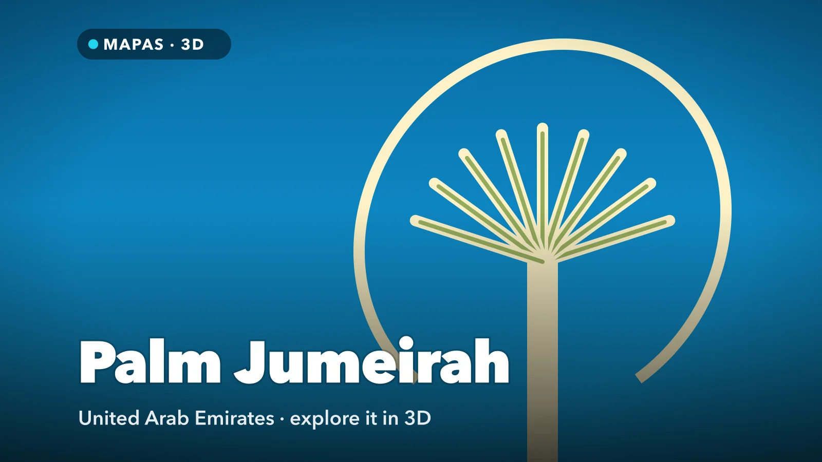
Off Dubai’s coast sits an island of reclaimed sand drawn on the sea as a trunk, a fan of fronds and a crescent breakwater around 11 kilometres long. Here is how to explore Palm Jumeirah in 3D from your iPhone, and why the shape only makes sense from above.
Palm Jumeirah sits off Dubai’s coast between Dubai Marina and the Burj Al Arab, and from the ground it is hard to read. You drive up an avenue of towers, dip into a tunnel and surface beside a vast coral-coloured resort, never feeling you are on a tree.
See Palm Jumeirah in 3D from above and it is nothing else. A straight trunk runs out from the shore, a fan of narrow fronds spreads from its top, and a crescent of rock and sand around 11 kilometres long curls around the whole thing like a protective arm. Every part of it was put there on purpose, starting in 2001.
That is why the Palm Jumeirah satellite view is the one everybody knows, and you can explore it in full 3D from your iPhone.
What makes Palm Jumeirah special
The island comes in three parts, and each has a job. The trunk carries the main road, the Palm Monorail and the densest stretch of towers. The fronds branch from its top on both sides, each a thin finger of reclaimed land with a road down the middle and villas backing onto the water. The crescent is the outer ring, a breakwater that takes the force of the open Gulf so the water between the fronds stays calm.
The trunk meets the mainland by a short bridge, but the crescent is reached by a road tunnel under the lagoon, which is why drivers surface beside Atlantis The Palm without having seen the water they crossed.
How to explore Palm Jumeirah in 3D
This is where MAPAS comes in. Its 3D views use Apple’s map imagery, which suits a place this flat and geometric. The imagery is recorded rather than live, and like Street View imagery it can be several years old, but the island’s outline has barely changed since it was reclaimed.
For a first run, try this order:
- Search for Palm Jumeirah, Dubai and start in satellite view, zoomed out until the whole island fits on screen.
- Switch to 3D and tilt low from the mainland end, looking up the trunk, so the towers rise into a corridor with the fronds opening ahead.
- Orbit over the top of the trunk and look straight down to count them, since guides disagree between sixteen and seventeen, then fly along one at rooftop height.
- Drop low at the tip of a frond and look across to the next, to see how narrow the channels are and how close the crescent sits behind them.
- Rise and rotate to follow it end to end, with Atlantis at its centre, and look for the breaks in the breakwater where the tide gets in.
- Drop into Street View where coverage exists along the trunk or the crescent, then pull straight back up to satellite height.
Follow along in MAPAS
Free on the App Store for iPhone and iPad.
Beyond the outline
- Atlantis The Palm — the first resort on the island, opened in 2008, beside the Aquaventure waterpark and the monorail terminus.
- The View at The Palm — an observation deck about 240 metres up on level 52 of The Palm Tower, the easiest way to see the fronds with your own eyes.
- The Boardwalk — a seafront promenade of about 11 kilometres along the crescent.
- The Pointe and Palm West Beach — The Pointe faces Atlantis from the tip of the trunk; Palm West Beach looks towards the Dubai Marina skyline.
- Dubai’s other reclaimed coast — The World islands to the north-east and Palm Jebel Ali, the larger sister palm. For the city itself, see Dubai in 3D.
The satellite view is not today’s Palm
Building has never really stopped on Palm Jumeirah, and the imagery in MAPAS is recorded, not live. A plot showing cranes in 3D may hold a finished tower now, and neighbouring tiles can come from different years. Use the view for the shape and layout, and treat individual buildings as approximate.
Why the island is shaped like a palm
Dubai’s natural coastline is short and largely straight, and in a beach city the value sits on the waterline. A round island adds only its own rim. A palm adds far more, because every frond has two shores.
Building it meant working in the right order. The crescent went in first, from June 2001, because loose sand in open water would not survive without it. It is a layered bank of sand and rock, armoured with around seven million tonnes of boulders quarried in the Hajar Mountains. Behind that shelter, dredgers pumped sand from the Gulf floor and sprayed it into the outline of the trunk and fronds, steered by GPS. Desert sand was no use: its wind-worn grains are too smooth to lock together, while coarser sea sand packs densely and stands up to waves.
The first design had a flaw: an unbroken crescent stopped the tide flushing the lagoons, the water began to stagnate, and openings were cut through the breakwater to let the sea circulate. For another coast rebuilt from the seabed, compare Singapore in 3D; for a lagoon ring that coral built around an old volcano, see Bora Bora in 3D.
Before you go
Palm Jumeirah is part of the city, not an attraction with a gate, so there is no permit or ticket. The monorail runs from the Gateway station at the base of the trunk to Atlantis, and Gateway connects by footbridge to the Dubai Tram. The fronds are private residential streets. Resort lobbies and beaches can be closed to non-guests, so a restaurant booking is the reliable way in.
From roughly November to March the weather is warm and dry. From May to September the midday heat is hard work, so go early or after sunset, and check the current weather in MAPAS first.
Common questions
When was Palm Jumeirah built?
Work began in June 2001, with the breakwater built first, and Atlantis The Palm opened in 2008.
Can you see Palm Jumeirah from space?
It shows clearly in satellite imagery and in astronaut photographs from the International Space Station, but it is not visible to the naked eye from the Moon.
Is MAPAS free to use?
Yes. It is free on the App Store to download and use, with limits, and Premium unlocks unlimited live cameras, unlimited Street View and full 3D and satellite map access.
No flight to Dubai, no taxi through the tunnel, no queue for the observation deck. Just a trunk, a fan of fronds and a crescent of rock, laid out where you can see the whole design at once.
Open MAPAS and follow Palm Jumeirah from above, from the base of the trunk to the far end of the crescent.
Explore Palm Jumeirah in 3D
Open MAPAS on your iPhone and follow Palm Jumeirah from above, from the trunk out through the fronds to the crescent.
Download on theApp Store